Download
Update
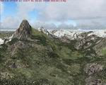
NOT primarily based on the Shuttle Radar (SRTM) data with their incomplete coverage of prominent peaks and ridges. Instead, sources are detailed topographic maps and compiled for FS at LOD10 (38m) . Also included are LOD9 and LO8 buffer mesh files. Fully compatible with FS2002.


No comments:
Post a Comment